
弥栄湖 topographic map
Interactive map
Click on the map to display elevation.
About this map
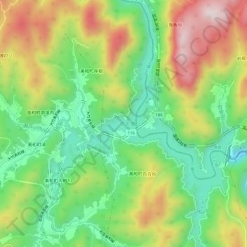
Name: 弥栄湖 topographic map, elevation, terrain.
Location: 弥栄湖, 岩国市, 山口県, 日本 (34.21748 132.12628 34.26005 132.16430)
Average elevation: 236 m
Minimum elevation: 21 m
Maximum elevation: 538 m
Other topographic maps
Click on a map to view its topography, its elevation and its terrain.