
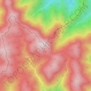
平家ヶ岳 topographic map
Interactive map
Click on the map to display elevation.
About this map
Name: 平家ヶ岳 topographic map, elevation, terrain.
Location: 平家ヶ岳, 岩国市, 山口県, 日本 (34.31830 131.89963 34.31840 131.89973)
Average elevation: 861 m
Minimum elevation: 481 m
Maximum elevation: 1,050 m
Other topographic maps
Click on a map to view its topography, its elevation and its terrain.