
弥栄ダム topographic map
Interactive map
Click on the map to display elevation.
About this map
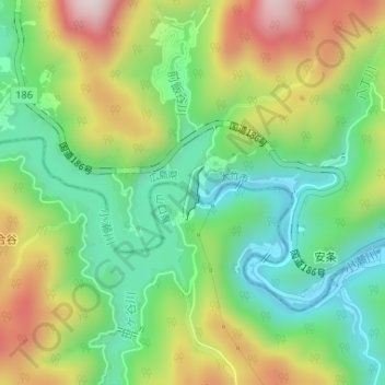
Name: 弥栄ダム topographic map, elevation, terrain.
Location: 弥栄ダム, 岩国市, 山口県, 日本 (34.23151 132.16220 34.23535 132.16382)
Average elevation: 194 m
Minimum elevation: 15 m
Maximum elevation: 476 m
Other topographic maps
Click on a map to view its topography, its elevation and its terrain.