
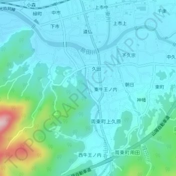
中山川 topographic map
Interactive map
Click on the map to display elevation.
About this map
Name: 中山川 topographic map, elevation, terrain.
Location: 中山川, 周東町上久原, 岩国市, 山口県, 742-0417, 日本 (34.07149 132.05032 34.08446 132.05459)
Average elevation: 76 m
Minimum elevation: 35 m
Maximum elevation: 293 m