
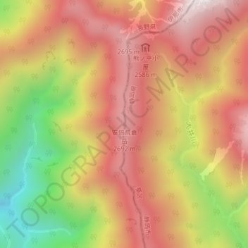
安倍荒倉岳 topographic map
Interactive map
Click on the map to display elevation.
About this map
Name: 安倍荒倉岳 topographic map, elevation, terrain.
Location: 安倍荒倉岳, 伊那市, 長野県, 日本 (35.62301 138.20292 35.62311 138.20302)
Average elevation: 2,349 m
Minimum elevation: 1,723 m
Maximum elevation: 2,783 m
Other topographic maps
Click on a map to view its topography, its elevation and its terrain.