
美和湖 topographic map
Interactive map
Click on the map to display elevation.
About this map
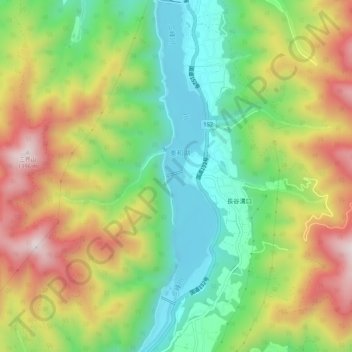
Name: 美和湖 topographic map, elevation, terrain.
Location: 美和湖, 伊那市, 長野県, 日本 (35.77099 138.07544 35.81389 138.08676)
Average elevation: 1,051 m
Minimum elevation: 796 m
Maximum elevation: 1,394 m
Other topographic maps
Click on a map to view its topography, its elevation and its terrain.