
高遠ダム topographic map
Interactive map
Click on the map to display elevation.
About this map
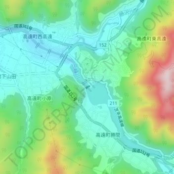
Name: 高遠ダム topographic map, elevation, terrain.
Location: 高遠ダム, 伊那市, 長野県, 日本 (35.82933 138.06270 35.82976 138.06339)
Average elevation: 844 m
Minimum elevation: 725 m
Maximum elevation: 1,134 m
Other topographic maps
Click on a map to view its topography, its elevation and its terrain.