
荘山田村 topographic map
Interactive map
Click on the map to display elevation.
About this map
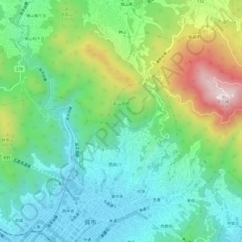
Name: 荘山田村 topographic map, elevation, terrain.
Location: 荘山田村, 呉市, 広島県, 日本 (34.25341 132.54336 34.27877 132.59463)
Average elevation: 218 m
Minimum elevation: 2 m
Maximum elevation: 712 m
Other topographic maps
Click on a map to view its topography, its elevation and its terrain.