
平羅島 topographic map
Interactive map
Click on the map to display elevation.
About this map
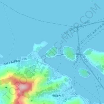
Name: 平羅島 topographic map, elevation, terrain.
Location: 平羅島, 豊町大長, 呉市, 広島県, 日本 (34.19191 132.84912 34.19512 132.85361)
Average elevation: 27 m
Minimum elevation: -1 m
Maximum elevation: 305 m