
高鳥山 topographic map
Interactive map
Click on the map to display elevation.
About this map
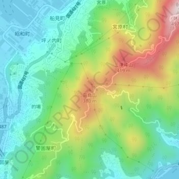
Name: 高鳥山 topographic map, elevation, terrain.
Location: 高鳥山, 呉市, 広島県, 737-0027, 日本 (34.21565 132.56013 34.21575 132.56023)
Average elevation: 162 m
Minimum elevation: 0 m
Maximum elevation: 482 m
Other topographic maps
Click on a map to view its topography, its elevation and its terrain.