
横尾山 topographic map
Interactive map
Click on the map to display elevation.
About this map
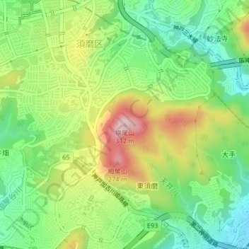
Name: 横尾山 topographic map, elevation, terrain.
Location: 横尾山, 神戸市, 兵庫県, 654-0131, 日本 (34.66552 135.10827 34.66562 135.10837)
Average elevation: 122 m
Minimum elevation: 23 m
Maximum elevation: 267 m
Other topographic maps
Click on a map to view its topography, its elevation and its terrain.