
有野中町 topographic map
Interactive map
Click on the map to display elevation.
About this map
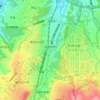
Name: 有野中町 topographic map, elevation, terrain.
Location: 有野中町, 北区, 神戸市, 兵庫県, 日本 (34.81689 135.22105 34.83618 135.23121)
Average elevation: 236 m
Minimum elevation: 183 m
Maximum elevation: 306 m
Other topographic maps
Click on a map to view its topography, its elevation and its terrain.