
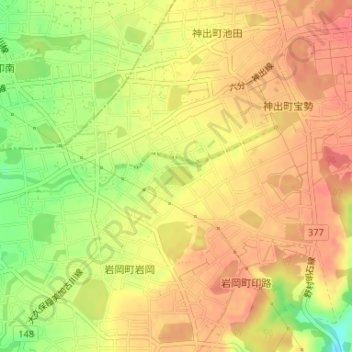
三号池 topographic map
Interactive map
Click on the map to display elevation.
About this map
Name: 三号池 topographic map, elevation, terrain.
Location: 三号池, 岩岡町岩岡, 西区, 神戸市, 兵庫県, 日本 (34.72948 134.95761 34.73104 134.96091)
Average elevation: 82 m
Minimum elevation: 44 m
Maximum elevation: 101 m
Other topographic maps
Click on a map to view its topography, its elevation and its terrain.