
須磨区 topographic map
Interactive map
Click on the map to display elevation.
About this map
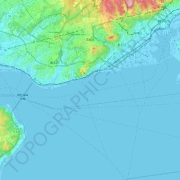
Name: 須磨区 topographic map, elevation, terrain.
Location: 須磨区, 神戸市, 兵庫県, 日本 (34.53241 135.06569 34.71423 135.16483)
Average elevation: 38 m
Minimum elevation: -6 m
Maximum elevation: 438 m
Other topographic maps
Click on a map to view its topography, its elevation and its terrain.