
月山池 topographic map
Interactive map
Click on the map to display elevation.
About this map
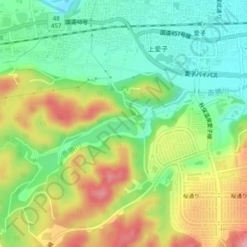
Name: 月山池 topographic map, elevation, terrain.
Location: 月山池, 秋保温泉愛子線, 錦ケ丘八丁目, 青葉区, 仙台市, 宮城県, 989-3124, 日本 (38.26181 140.75095 38.26191 140.75105)
Average elevation: 153 m
Minimum elevation: 99 m
Maximum elevation: 229 m
Other topographic maps
Click on a map to view its topography, its elevation and its terrain.