
麦积区 topographic map
Interactive map
Click on the map to display elevation.
About this map
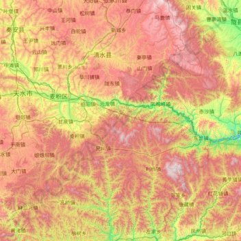
Name: 麦积区 topographic map, elevation, terrain.
Location: 麦积区, 天水市, 甘肃省, 中国 (34.10058 105.42373 34.80960 106.71244)
Average elevation: 1,594 m
Minimum elevation: 720 m
Maximum elevation: 2,679 m
Other topographic maps
Click on a map to view its topography, its elevation and its terrain.