
渭源县 topographic map
Interactive map
Click on the map to display elevation.
About this map
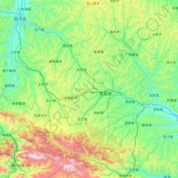
Name: 渭源县 topographic map, elevation, terrain.
Location: 渭源县, 定西市, 甘肃省, 中国 (34.88707 103.73564 35.41560 104.47833)
Average elevation: 2,347 m
Minimum elevation: 1,821 m
Maximum elevation: 3,929 m
Other topographic maps
Click on a map to view its topography, its elevation and its terrain.