
五郎池 topographic map
Interactive map
Click on the map to display elevation.
About this map
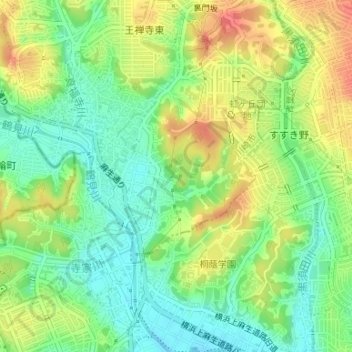
Name: 五郎池 topographic map, elevation, terrain.
Location: 五郎池, 早野, 麻生区, 川崎市, 神奈川県, 日本 (35.57347 139.51668 35.57412 139.51727)
Average elevation: 45 m
Minimum elevation: 19 m
Maximum elevation: 76 m
Other topographic maps
Click on a map to view its topography, its elevation and its terrain.