
多摩区 topographic map
Interactive map
Click on the map to display elevation.
About this map
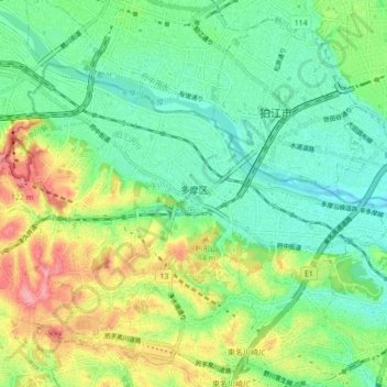
Name: 多摩区 topographic map, elevation, terrain.
Location: 多摩区, 川崎市, 神奈川県, 日本 (35.59578 139.51485 35.64281 139.60077)
Average elevation: 46 m
Minimum elevation: 8 m
Maximum elevation: 119 m
Other topographic maps
Click on a map to view its topography, its elevation and its terrain.