
片平 topographic map
Interactive map
Click on the map to display elevation.
About this map
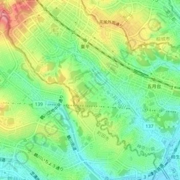
Name: 片平 topographic map, elevation, terrain.
Location: 片平, 麻生区, 川崎市, 神奈川県, 日本 (35.59264 139.47713 35.60450 139.49028)
Average elevation: 69 m
Minimum elevation: 33 m
Maximum elevation: 122 m
Other topographic maps
Click on a map to view its topography, its elevation and its terrain.