
池口岳 topographic map
Interactive map
Click on the map to display elevation.
About this map
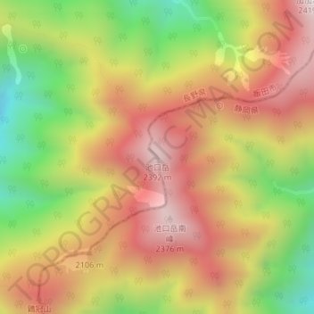
Name: 池口岳 topographic map, elevation, terrain.
Location: 池口岳, 川根本町, 榛原郡, 静岡県, 日本 (35.33020 138.03831 35.33030 138.03841)
Average elevation: 1,960 m
Minimum elevation: 1,456 m
Maximum elevation: 2,378 m
Other topographic maps
Click on a map to view its topography, its elevation and its terrain.