
接岨湖 topographic map
Interactive map
Click on the map to display elevation.
About this map
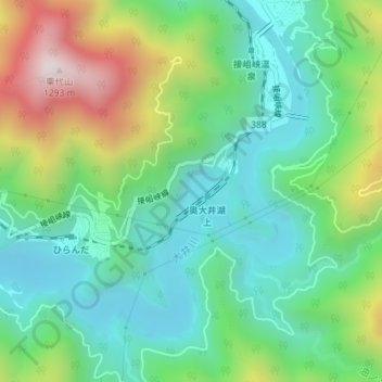
Name: 接岨湖 topographic map, elevation, terrain.
Location: 接岨湖, 川根本町, 榛原郡, 静岡県, 日本 (35.15583 138.15456 35.18112 138.19042)
Average elevation: 682 m
Minimum elevation: 417 m
Maximum elevation: 1,268 m
Other topographic maps
Click on a map to view its topography, its elevation and its terrain.