
塩郷ダム topographic map
Interactive map
Click on the map to display elevation.
About this map
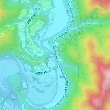
Name: 塩郷ダム topographic map, elevation, terrain.
Location: 塩郷ダム, 川根本町, 榛原郡, 静岡県, 日本 (35.00143 138.08683 35.00165 138.08848)
Average elevation: 320 m
Minimum elevation: 175 m
Maximum elevation: 751 m
Other topographic maps
Click on a map to view its topography, its elevation and its terrain.