
衡阳县 topographic map
Interactive map
Click on the map to display elevation.
About this map
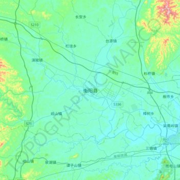
Name: 衡阳县 topographic map, elevation, terrain.
Location: 衡阳县, 衡阳市, 湖南省, 中国 (26.81297 112.20502 27.13297 112.52502)
Average elevation: 105 m
Minimum elevation: 50 m
Maximum elevation: 473 m
Other topographic maps
Click on a map to view its topography, its elevation and its terrain.