
金银滩镇 topographic map
Interactive map
Click on the map to display elevation.
About this map
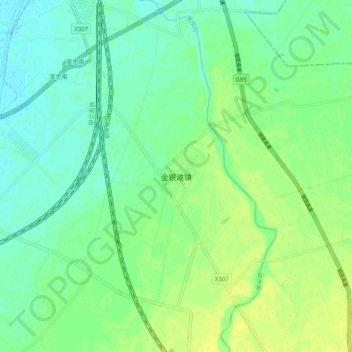
Name: 金银滩镇 topographic map, elevation, terrain.
Location: 金银滩镇, 利通区, 吴忠市, 宁夏回族自治区, 中国 (37.87682 106.22829 37.95682 106.30829)
Average elevation: 1,134 m
Minimum elevation: 1,126 m
Maximum elevation: 1,141 m
Other topographic maps
Click on a map to view its topography, its elevation and its terrain.