
红山堡 topographic map
Interactive map
Click on the map to display elevation.
About this map
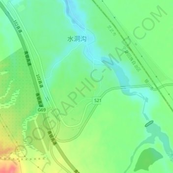
Name: 红山堡 topographic map, elevation, terrain.
Location: 红山堡, S214, 灵武市, 银川市, 宁夏回族自治区, 中国 (38.27420 106.51845 38.27761 106.52273)
Average elevation: 1,217 m
Minimum elevation: 1,192 m
Maximum elevation: 1,262 m