
麻黄山 topographic map
Interactive map
Click on the map to display elevation.
About this map
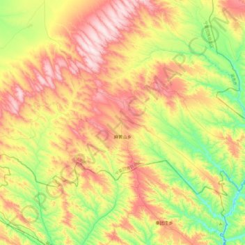
Name: 麻黄山 topographic map, elevation, terrain.
Location: 麻黄山, 盐池县, 吴忠市, 宁夏回族自治区, 中国 (37.09451 106.91660 37.29237 107.33376)
Average elevation: 1,608 m
Minimum elevation: 1,324 m
Maximum elevation: 1,952 m
Other topographic maps
Click on a map to view its topography, its elevation and its terrain.