
天狗山 topographic map
Interactive map
Click on the map to display elevation.
About this map
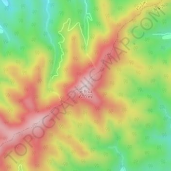
Name: 天狗山 topographic map, elevation, terrain.
Location: 天狗山, 松江市, 島根県, 日本 (35.33983 133.08301 35.33993 133.08311)
Average elevation: 361 m
Minimum elevation: 135 m
Maximum elevation: 581 m
Other topographic maps
Click on a map to view its topography, its elevation and its terrain.