
大谷貯水池 topographic map
Interactive map
Click on the map to display elevation.
About this map
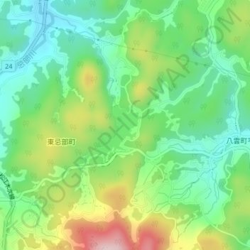
Name: 大谷貯水池 topographic map, elevation, terrain.
Location: 大谷貯水池, 松江市, 島根県, 690-0044, 日本 (35.39893 133.04822 35.40297 133.05031)
Average elevation: 149 m
Minimum elevation: 52 m
Maximum elevation: 329 m
Other topographic maps
Click on a map to view its topography, its elevation and its terrain.