
Bláskógabyggð topographic map
Interactive map
Click on the map to display elevation.
About this map
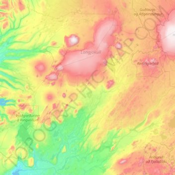
Name: Bláskógabyggð topographic map, elevation, terrain.
Location: Bláskógabyggð, Southern Region, 840, Iceland (64.07217 -21.42064 64.86222 -19.09433)
Average elevation: 511 m
Minimum elevation: 5 m
Maximum elevation: 1,681 m
Other topographic maps
Click on a map to view its topography, its elevation and its terrain.
Grindavíkurbær
Grindavíkurbær, Southern Peninsula, Iceland
Average elevation: 41 m
Tindfjallajökull
Tindfjallajökull, Hungurfitaskáli, Rangárþing ytra, Southern Region, Iceland
Average elevation: 1,059 m
Kaldaklofsjökull
Kaldaklofsjökull, Laugavegur, Rangárþing ytra, Southern Region, Iceland
Average elevation: 1,035 m