
Húnabyggð topographic map
Interactive map
Click on the map to display elevation.
About this map
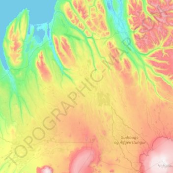
Name: Húnabyggð topographic map, elevation, terrain.
Location: Húnabyggð, Northwestern Region, Iceland (64.77323 -20.57443 65.72783 -18.97886)
Average elevation: 522 m
Minimum elevation: -5 m
Maximum elevation: 1,750 m