
扬州市 topographic map
Interactive map
Click on the map to display elevation.
About this map
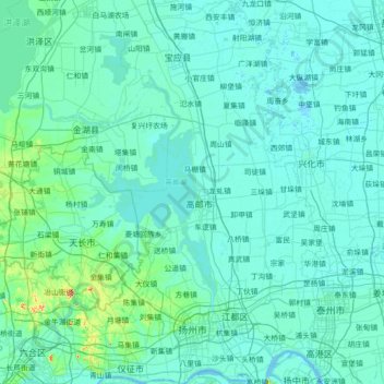
Name: 扬州市 topographic map, elevation, terrain.
Location: 扬州市, 江苏省, 中国 (32.22463 119.00460 33.41710 119.90734)
Average elevation: 10 m
Minimum elevation: -2 m
Maximum elevation: 215 m
扬州市最高点为仪征市境内的铜山,海拔149.5米。
Other topographic maps
Click on a map to view its topography, its elevation and its terrain.