
南通市 topographic map
Interactive map
Click on the map to display elevation.
About this map
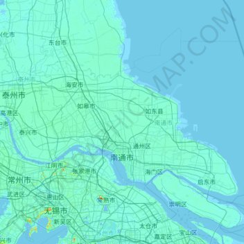
Name: 南通市 topographic map, elevation, terrain.
Location: 南通市, 江苏省, 中国 (31.63068 120.19724 32.85833 122.38666)
Average elevation: 3 m
Minimum elevation: -3 m
Maximum elevation: 313 m
Other topographic maps
Click on a map to view its topography, its elevation and its terrain.