
铁西街道办事处 topographic map
Interactive map
Click on the map to display elevation.
About this map
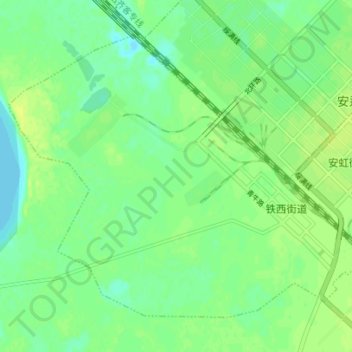
Name: 铁西街道办事处 topographic map, elevation, terrain.
Location: 铁西街道办事处, 安达市, 绥化市, 黑龙江省, 152000, 中国 (46.38176 125.25999 46.42018 125.32968)
Average elevation: 149 m
Minimum elevation: 141 m
Maximum elevation: 157 m
Other topographic maps
Click on a map to view its topography, its elevation and its terrain.