
金山村 topographic map
Interactive map
Click on the map to display elevation.
About this map
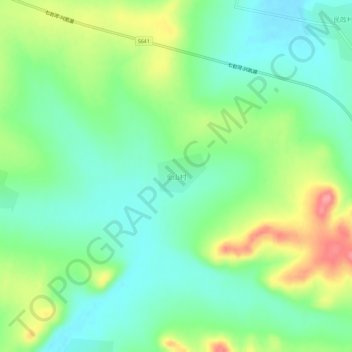
Name: 金山村 topographic map, elevation, terrain.
Location: 金山村, 密山市, 鸡西市, 黑龙江省, 中国 (45.65911 131.64507 45.69911 131.68507)
Average elevation: 170 m
Minimum elevation: 137 m
Maximum elevation: 233 m
Other topographic maps
Click on a map to view its topography, its elevation and its terrain.