
兴隆村 topographic map
Interactive map
Click on the map to display elevation.
About this map
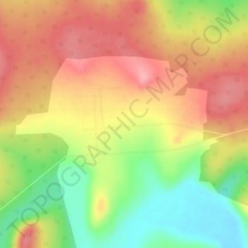
Name: 兴隆村 topographic map, elevation, terrain.
Location: 兴隆村, 韩家园镇, 呼玛县, 大兴安岭地区, 黑龙江省, 中国 (51.76277 125.87495 51.77087 125.88871)
Average elevation: 343 m
Minimum elevation: 283 m
Maximum elevation: 390 m