
骆驼沟村 topographic map
Interactive map
Click on the map to display elevation.
About this map
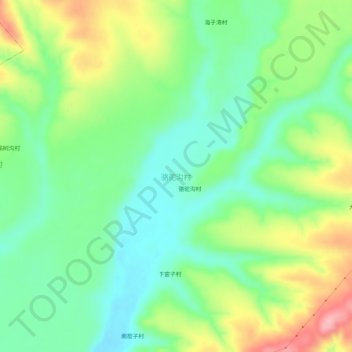
Name: 骆驼沟村 topographic map, elevation, terrain.
Location: 骆驼沟村, 呼和浩特市, 内蒙古自治区, 中国 (40.20988 111.80128 40.24988 111.84128)
Average elevation: 1,165 m
Minimum elevation: 1,115 m
Maximum elevation: 1,253 m
Other topographic maps
Click on a map to view its topography, its elevation and its terrain.