
西鲁家火盘村 topographic map
Interactive map
Click on the map to display elevation.
About this map
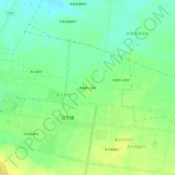
Name: 西鲁家火盘村 topographic map, elevation, terrain.
Location: 西鲁家火盘村, 双河镇, 托克托县, 呼和浩特市, 内蒙古自治区, 中国 (40.25684 111.21090 40.29684 111.25090)
Average elevation: 1,022 m
Minimum elevation: 1,010 m
Maximum elevation: 1,035 m
Other topographic maps
Click on a map to view its topography, its elevation and its terrain.