
街口镇 topographic map
Interactive map
Click on the map to display elevation.
About this map
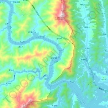
Name: 街口镇 topographic map, elevation, terrain.
Location: 街口镇, 歙县, 黄山市, 安徽省, 中国 (29.70242 118.61963 29.80533 118.73890)
Average elevation: 303 m
Minimum elevation: 88 m
Maximum elevation: 1,024 m
Other topographic maps
Click on a map to view its topography, its elevation and its terrain.