
渔梁 topographic map
Interactive map
Click on the map to display elevation.
About this map
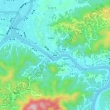
Name: 渔梁 topographic map, elevation, terrain.
Location: 渔梁, 徽城镇, 歙县, 黄山市, 安徽省, 245200, 中国 (29.83939 118.42152 29.87939 118.46152)
Average elevation: 172 m
Minimum elevation: 100 m
Maximum elevation: 408 m