
娘蒲乡 topographic map
Interactive map
Click on the map to display elevation.
About this map
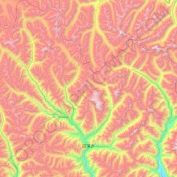
Name: 娘蒲乡 topographic map, elevation, terrain.
Location: 娘蒲乡, 工布江达县, 林芝市, 西藏自治区, 中国 (30.11658 92.76208 30.61211 93.31215)
Average elevation: 4,985 m
Minimum elevation: 3,608 m
Maximum elevation: 6,110 m
Other topographic maps
Click on a map to view its topography, its elevation and its terrain.