
香隅镇 topographic map
Interactive map
Click on the map to display elevation.
About this map
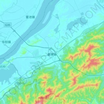
Name: 香隅镇 topographic map, elevation, terrain.
Location: 香隅镇, 东至县, 池州市, 安徽省, 247200, 中国 (29.96007 116.74244 30.18383 116.96315)
Average elevation: 105 m
Minimum elevation: 3 m
Maximum elevation: 827 m
Other topographic maps
Click on a map to view its topography, its elevation and its terrain.