
Chogo topographic map
Interactive map
Click on the map to display elevation.
About this map
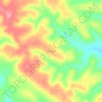
Name: Chogo topographic map, elevation, terrain.
Location: Chogo, Handeni, Tanga, Northern Zone, Tanzanie (-5.62028 38.49320 -5.58028 38.53320)
Average elevation: 354 m
Minimum elevation: 299 m
Maximum elevation: 401 m
Other topographic maps
Click on a map to view its topography, its elevation and its terrain.