
Soroti topographic map
Interactive map
Click on the map to display elevation.
About this map
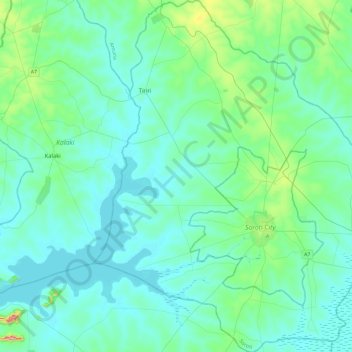
Name: Soroti topographic map, elevation, terrain.
Location: Soroti, Eastern Region, Uganda (1.55559 33.39028 2.02007 33.81591)
Average elevation: 1,073 m
Minimum elevation: 1,030 m
Maximum elevation: 1,362 m
Other topographic maps
Click on a map to view its topography, its elevation and its terrain.