
Akum topographic map
Interactive map
Click on the map to display elevation.
About this map
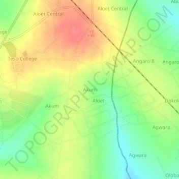
Name: Akum topographic map, elevation, terrain.
Location: Akum, Soroti City, Eastern Region, Uganda (1.74913 33.62804 1.78913 33.66804)
Average elevation: 1,123 m
Minimum elevation: 1,090 m
Maximum elevation: 1,156 m