
College Station topographic map
Interactive map
Click on the map to display elevation.
About this map
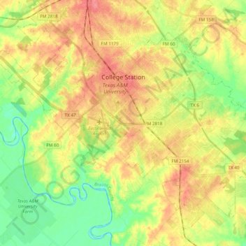
Name: College Station topographic map, elevation, terrain.
Location: College Station, Brazos County, Texas, États-Unis d'Amérique (30.51648 -96.38765 30.65841 -96.19656)
Average elevation: 87 m
Minimum elevation: 55 m
Maximum elevation: 119 m
Other topographic maps
Click on a map to view its topography, its elevation and its terrain.
Bryan
États-Unis d'Amérique > Texas > Brazos County
Bryan, Brazos County, Texas, États-Unis d'Amérique
Average elevation: 94 m