
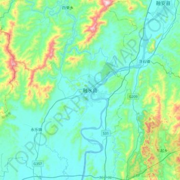
融水县 topographic map
Interactive map
Click on the map to display elevation.
融水县 topographic map, elevation, terrain
About this map
Name: 融水县 topographic map, elevation, terrain.
Location: 融水县, 融水苗族自治县, 柳州市, 广西壮族自治区, 中国 (24.91222 109.08893 25.23222 109.40893)
Average elevation: 254 m
Minimum elevation: 92 m
Maximum elevation: 1,025 m
Other topographic maps
Click on a map to view its topography, its elevation and its terrain.