
红水乡 topographic map
Interactive map
Click on the map to display elevation.
About this map
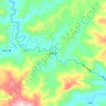
Name: 红水乡 topographic map, elevation, terrain.
Location: 红水乡, 融水苗族自治县, 柳州市, 广西壮族自治区, 中国 (25.50830 109.16588 25.58830 109.24588)
Average elevation: 456 m
Minimum elevation: 220 m
Maximum elevation: 979 m
Other topographic maps
Click on a map to view its topography, its elevation and its terrain.