
Lane County topographic map
Interactive map
Click on the map to display elevation.
About this map
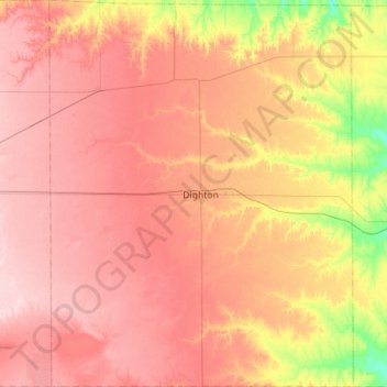
Name: Lane County topographic map, elevation, terrain.
Location: Lane County, Kansas, USA (38.26230 -100.68820 38.70370 -100.24442)
Average elevation: 844 m
Minimum elevation: 743 m
Maximum elevation: 912 m
Other topographic maps
Click on a map to view its topography, its elevation and its terrain.