
Phillips County topographic map
Interactive map
Click on the map to display elevation.
About this map
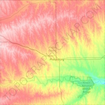
Name: Phillips County topographic map, elevation, terrain.
Location: Phillips County, Kansas, USA (39.56716 -99.62835 40.00225 -99.06706)
Average elevation: 615 m
Minimum elevation: 505 m
Maximum elevation: 711 m
Other topographic maps
Click on a map to view its topography, its elevation and its terrain.